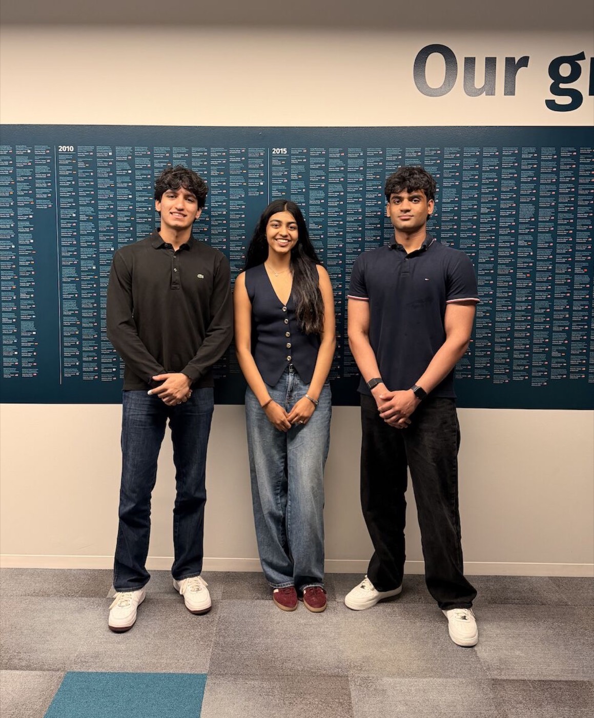
HERE Chicago Geospatial Hackathon
runner up
A weekend hackathon on making city mapping data more reliable by catching real-world errors automatically instead of by hand. We built a pipeline that pulls signal from imagery, clusters it into candidate corrections, and fuses the evidence with a method that can represent genuine uncertainty rather than forcing every case into a hard yes or no. We presented the approach to the judges and were runner up.
The specifics stay confidential, but it was a really fun problem to work on!